
Cesis
Location
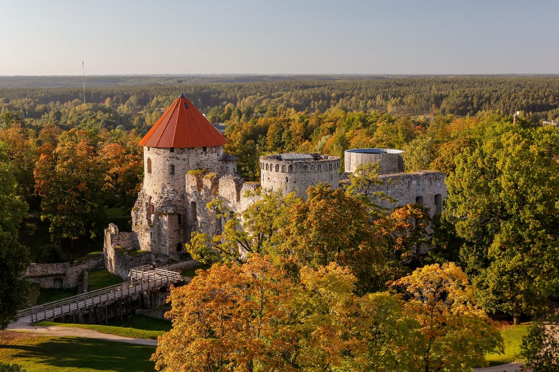
Cesis, Latvia
Theme
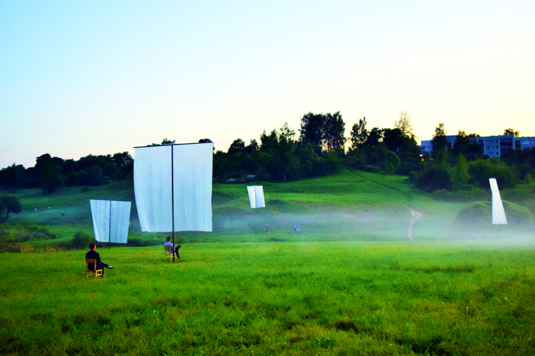
Connecting nature to the city
Partners
Municipality of Cesis
Cesis
Gauja river surroundings
The City of Cesis offers a perspective of a smaller, but vibrant and forward looking city. The local AU action supports re-integration and re-activation of urban nature into the city for the sake of well-being of its citizens and its guests as well as explores scenarios and place-making practices for this.
During the project, the Municipality of Cēsis cooperates with Environmental Solution Institute (ESI) and seeks to use its unique Airborne Lab to do aerial mapping of the local action pilot areas. To research the local pilot territories and to co-design the possible development plans and their technological counterparts, the municipality cooperates with the researchers and students of interactive technology, spatial planning and architecture at regional universities. The city planners and regional experts are also involved in the project activities.
The City of Cesis, known for its unique landscape of natural preserves, has relied on a long term planning regime which often forefronts habitat and landscape conservation over and above its potential social functions. While this approach has certainly prevented depletion of biodiversity during the Soviet era, the flip side of this policy has effectively rendered the area into obscurity, often invisible to both inhabitants and guests of the city alike. In order to reactivate and reintegrate natural habitats into cities as sites of human appreciation, the Augmented Urbans local action will try to demonstrate that the interests of long term planning processes can be best served if relevant parties are involved in hands on placemaking practices early on.
Utilization of a range of AR/VR/MR technologies will help to visualize and bring to life long term planning outcomes to those who are often vary of institutionalized and technical nature of urban and regional planning. Moreover, AR/VR/MR technologies will help to synchronize the goals of long term planning with the lived, day to day realities of work, leisure, play and tourism.