
Riga region
Location
Riga planning region, Latvia
Local theme
Connecting a river of knowledge
Partners
Riga Planning Region, Riga Technical university, Ltd. Free Architecture, Riga City Council, Kekava municipality, Ogre municipality
Riga region
Riga region resilience study
Riga Planning Region works on a study ‘Resilience by the river’ to investigate resilience and adaptivity measures in practice across Riga region municipalities. The study focuses on three cases around the river Daugava:
- Kekava – the use of new technologies and innovative tools for holding a public debate on the new territorial plan
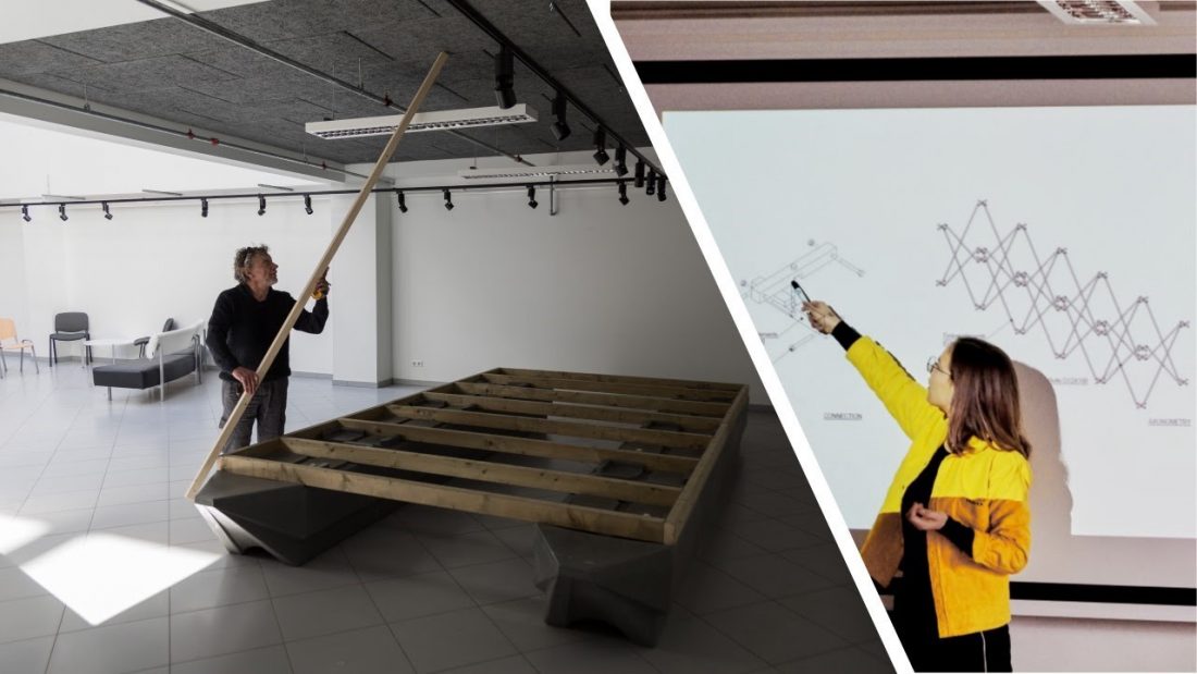
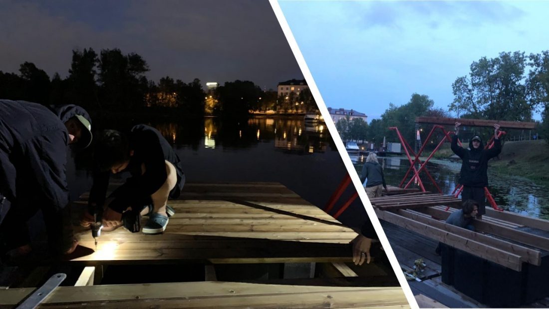
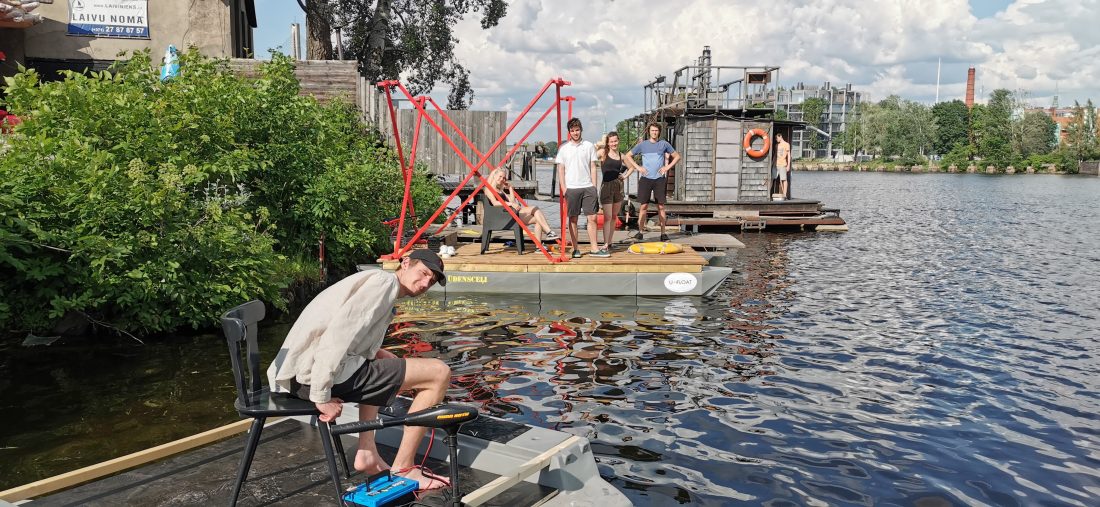
- Riga – building a network of small boat “ports” across river Daugava in collaboration with RTU students. Extending the outreach of university campuses on the banks of the river all the way to rural suburbs through the river
- Ogre – creating a City Gate project for refurbishing an old water pump station and using VR technologies for design and participation process
Together these aim to diversify waterfront infrastructure, connect the life in urban Riga and rural suburbs via the development collaboration with river Daugava, and to display existing competence on innovative tools for local and regional planning. Also, a common 3D GIS open data-based platform is worked upon to map activities on the banks of the river and connecting stakeholders.
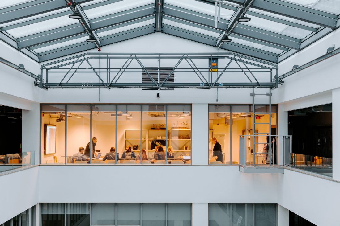
Thus far, an Augmented Urbans workspace has been created in collaboration with Riga Technical University and young entrepreneurs working with virtual reality, augmented reality and 3D technologies in building design and urban planning. The workspace includes physical models and functions as a round table for all interested parties to indulge in the participatory planning process and to showcase how the project progresses in each case study.
Activities build upon the tests previously made by the City Development Department of Riga City Council on GIS tools to increase public participation in the city planning process. We expect to demonstrate various models for public engagement via innovative tools such as virtual reality, 3D modelling, open-data GIS and Google Earth. Tools aim to simplify the communication and the engagement of the public as well as to involve local maker groups together with students to create solutions in our case for waterfront access. An approach that can, later on, serve as an example to adopt the use of new technologies for various urban planning needs.
We aspire to bring attention to the wider spectrum of resilience and agility by creating visible impact on-site as well as by reaching target audiences on different levels. That in turn, leading to changes in multiple levels: from new grassroots actions to local building code improvements, and joint proposals to the national level legal act changes.